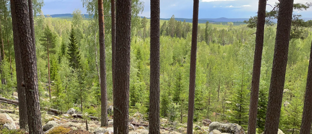
Photo: Pauline Jeanneret
Mapping in Gävleborg
The Geological Survey of Sweden (SGU) is conducting several mapping projects with different purposes in the Gävleborg area.
Several projects are currently underway where SGU is mapping various areas in Gävleborg County. You can find and read more about each project in the menu.
Since 2021, SGU has been investigating the occurrence of graphite, gold, cobalt, and various base metals in the border zone between the Bergslagen and Ljusdal lithotectonic units. The project consists of four separate sub-projects, with the last project starting in 2024 in Grängsbo, just outside Edsbyn.
Between 2021 and 2027, SGU is also conducting a project to produce new information about mafic intrusions in the Ljusdal lithotectonic unit. The mapping focuses primarily on vanadium, but titanium and iron is also being investigated.
Since 2024, SGU has also been investigating the factors required to create high-quality graphite deposits. The mapping work is being carried out both in the area around Edsbyn and at three different locations in Bergslagen: Norberg, Skällsta, and Garpa and Västerby mines.
Last reviewed 2025-02-28
