

New Data from SGU's Airborne Geophysical Surveys
Data from the airborne surveys conducted by the Geological Survey of Sweden (SGU) during the summer of 2024 are now available to order. The surveys were carried out in the counties of Västernorrland and Norrbotten.
SGU's airborne geophysical surveys conducted during 2024 are now available. Two survey areas were flown. One primarily covers the municipalities of Sollefteå and Örnsköldsvik in Västernorrland County, and the other covers the municipalities of Kiruna and Gällivare in Norrbotten County.
The survey areas are marked on the maps below. The area in Västernorrland County was measured with SGU's regular airborne surveys conducted in-house. This data includes information on:
- How the Earth's natural magnetic field varies over the surface
- Ground concentrations of the naturally occurring radioactive elements potassium, uranium, and thorium
- The electrical conductivity of the ground.
In addition to SGU's regular airborne surveys the surveys in Norrboten county also included extended measurements with airborne gravimetry and full-tensor gradiometry (FTG), as well as measurements with a helicopter-borne transient electromagnetic (TEM) method. The first two methods are used to measure gravity, and the latter to measure the electrical conductivity of the ground. These surveys are conducted with the extra funding SGU has received from the Swedish government.
– SGU is conducting expanded mapping activities as part of the government's initiative to find ore-potential areas. These additional efforts are a result of the EU Critical Raw Materials Actthat became Swedish law in 2024, says Henrik Johansson, geophysicist at SGU.
The new EU Act means that EU countries should work to strengthen the union's own capacity in mining, refining, processing, and recycling of raw materials.
With airborne surveys, large areas can be mapped in a relatively short period of time, even in areas that are difficult or impossible to reach from the ground. Depending on the survey method, airborne geophysical surveys can show properties of the bedrock and soil from the surface down to depths of several kilometers. The information collected is an important basis for, among other things, bedrock mapping, mineral exploration, and urban planning.
Currently, data from the 2024 airborne surveys are only available to order from SGU's customer service (kundservice@sgu.se). FTG data are initially not available as they are undergoing a review process. They will only be deliverable if and when a dissemination permit has been obtained.
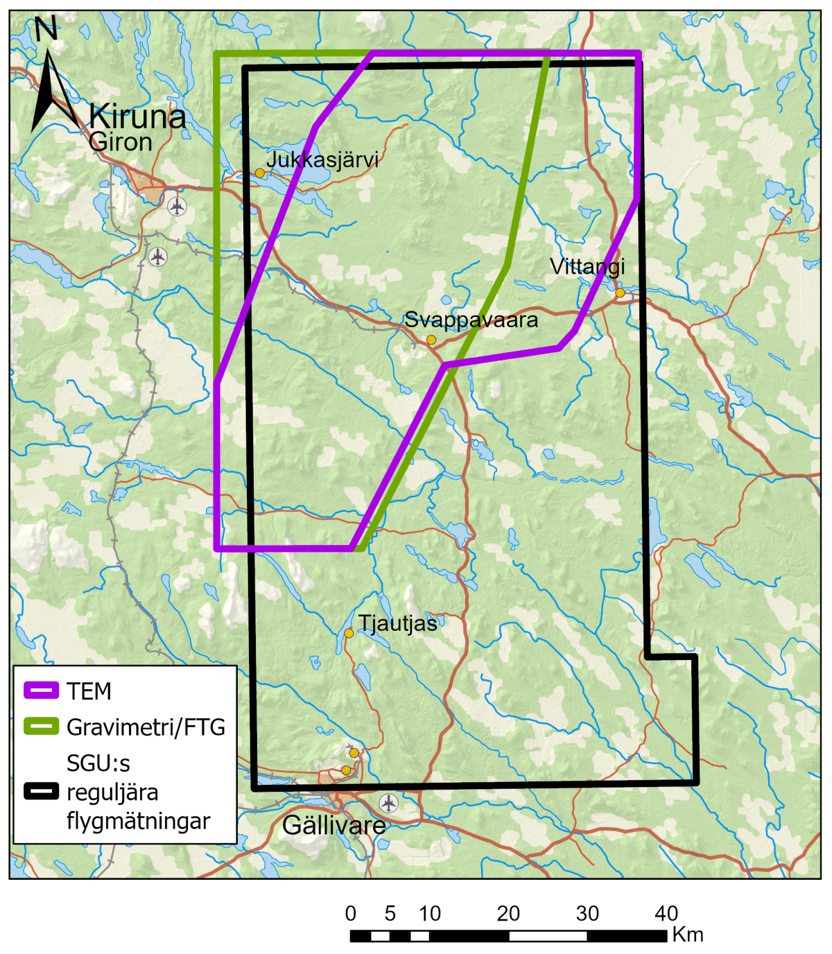
The surveyed areas in Norrbotten county.
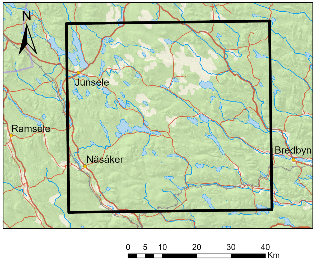
The surveyed areas in Västernorrland county.
Last reviewed 2025-02-17